Our Services
Construction Progression
-Monitor job site status’s with a wide
variety of deliverables listed below
Asset and Property Inspection
-Large properties and structures need to be managed well to maintain the value. Drone photography and videos can greatly aid in determining the status of these assets
Drone Mapping
-Knowing the layout of your property and seeing it from above are two different things. Mapping can help orient the property in a perspective that adds value in the decision making process.
Documentation
-Through the use of drones, we can accurately capture the information you are looking to document.
Our Deliverables

Aerial Still Imagery
A picture is worth a thousand words. Nothing could be more true. With High-Resolution photos, from uncommon perspectives, clients can accurately study the site without the distractions of the jobsite.
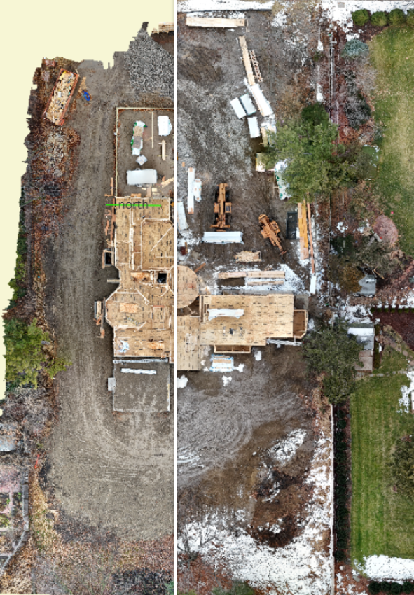
Interactive Ortho-mosaic Maps
These maps are made by stitching together hundreds of high resolution photographs. The level of detail is unmatched and allows no compromise to the level of image quality when trying to see the entire site in one image. Drone mapping provides owners, contractors, engineers and architects with
Site access details
infrastructure measurements
Measurements to estimate material costs
Progress photos of construction sites
Inspection photos before, during and after completion of a project
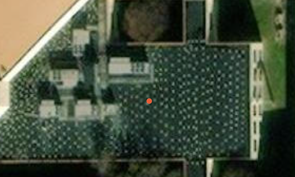
GIS SATELITE IMAGE QUALITY
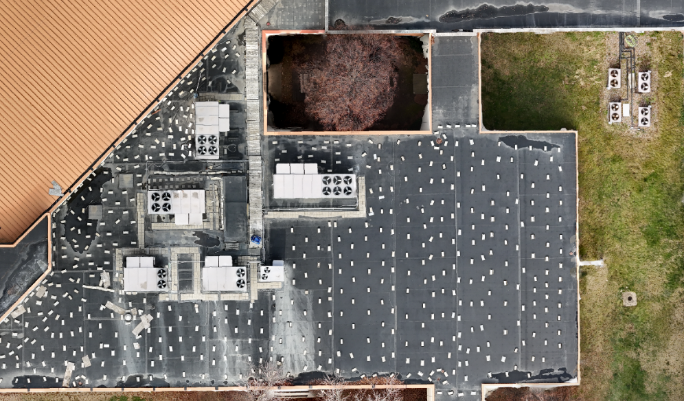
REAL TIME DRONE ORTHO-MOSAIC


